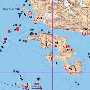
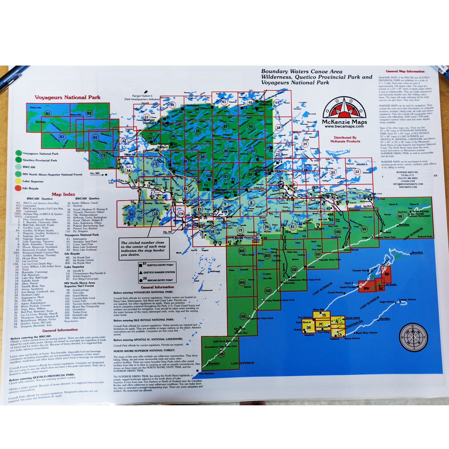
McKenzie Maps - K1 - Kabetogama Lake
All maps are waterproof, topographic, hillshaded, and feature trails, portages, campsites, and more!
Product Details:
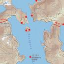
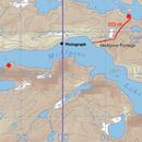
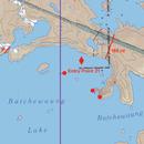
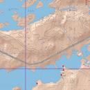
- This map details the southwest portion of Voyageurs National Park, including Kabetogam Lake and Ash River.
- Scale is 1:31680.
- Dimensions: 25" x 38"
- McKenzie Maps use the UTM coordinate system.
Maps are shipped folded in an envelope. Upon request, maps may be shipped in a tube for an additional $5. Submit requests via email or call our catalog at 1-800-223-6565


 Canoe Trips
 Canoe Trips