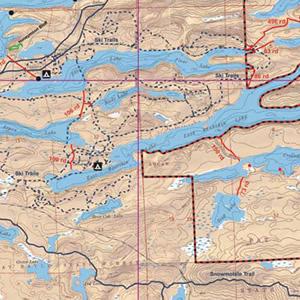
McKenzie Maps - M02 - East Bearskin, Clearwater and Alder Lake
All maps are: Waterproof, Topographic, Hillshaded, and feature Trails, Portages, Campsites, and more!
Product Details:
- This map details the mid Gunflint Trail area, East Bearskin, Rose, Duncan, Hungry Jack, Clearwater and Alder Lakes.
- BWCA canoe entry points: 59, 60, 61, 62, 64 and 82
- BWCA motor entry points: L, M, and N.
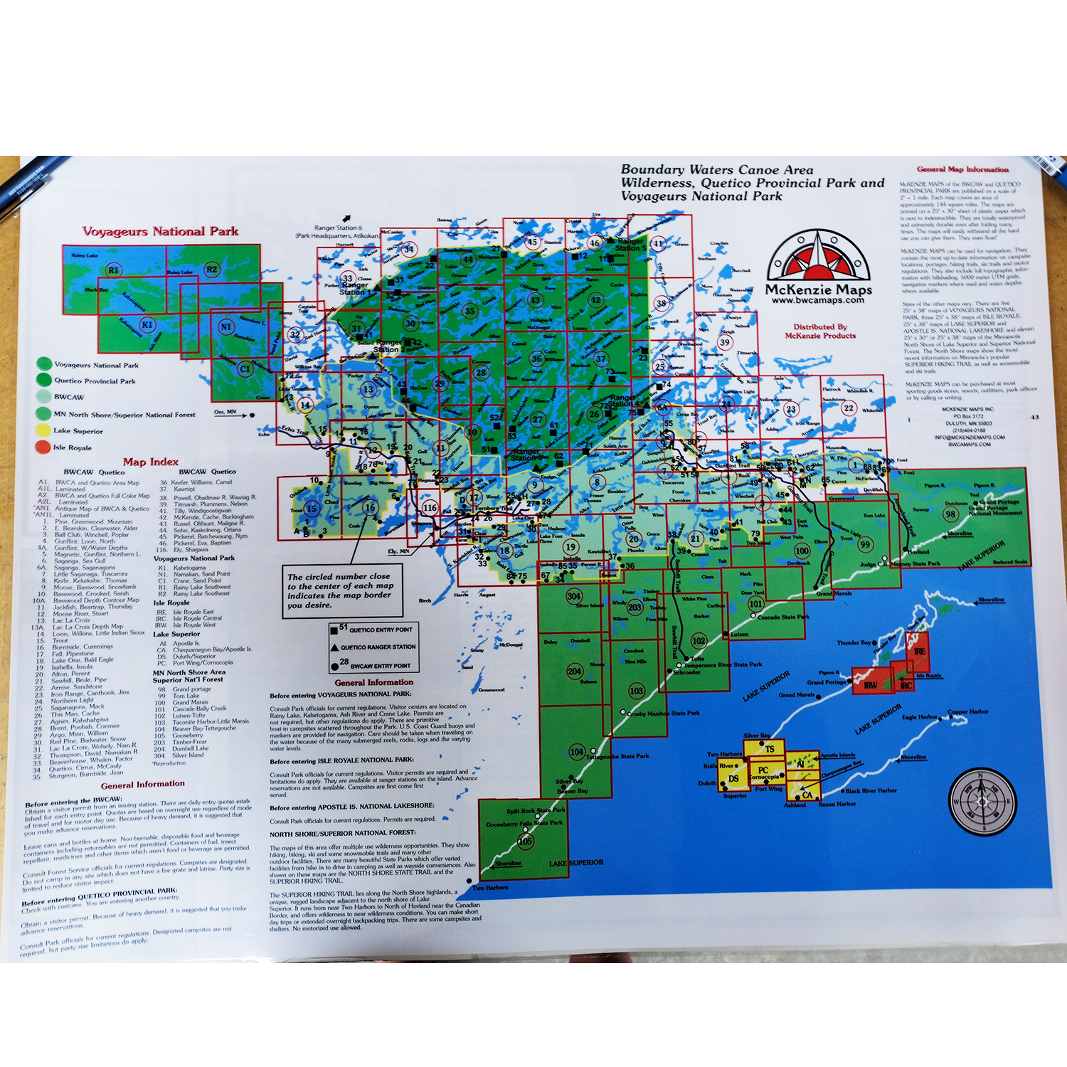
- Dimensions: 25" x 30"
- McKenzie Maps use the UTM coordinate system.
Maps are shipped folded in an envelope. Upon request, maps may be shipped in a tube for an additional $5. Submit requests via email or call our catalog at 1-800-223-6565


 Canoe Trips
 Canoe Trips