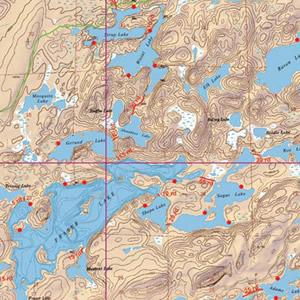
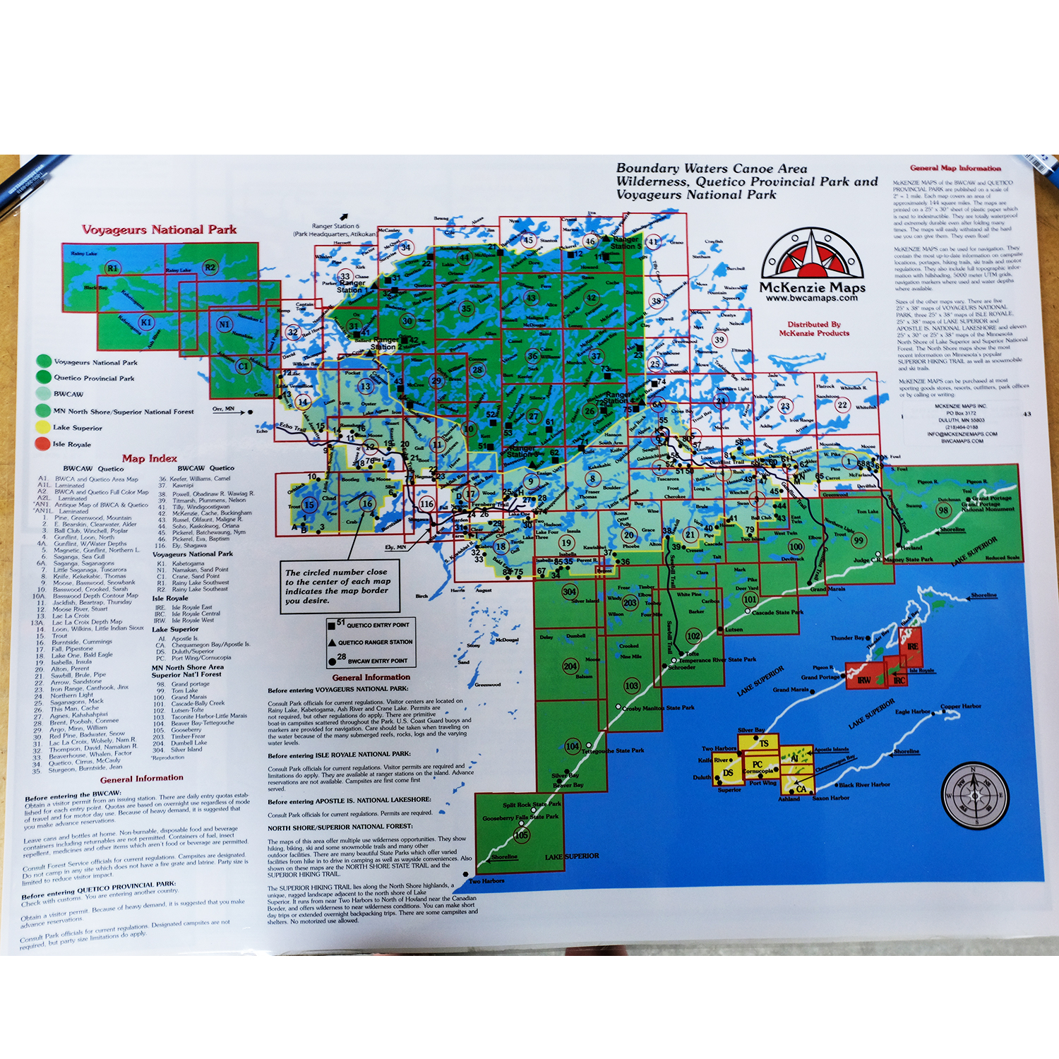
McKenzie Maps - M08 - Knife, Kekekabic and Thomas Lakes
All maps are: Waterproof, Topographic, Hillshaded, and feature Trails, Portages, Campsites, and more!
Product Details:
- This map details the heart of the BWCA, Kekekabic Trail, Isle of Pines and a small southern portion of the Quetico Park.
- Quetico Park canoe entry point: 71.
- Dimensions: 25" x 30"
- McKenzie Maps use the UTM coordinate system.
Maps are shipped folded in an envelope. Upon request, maps may be shipped in a tube for an additional $5. Submit requests via email or call our catalog at 1-800-223-6565


 Canoe Trips
 Canoe Trips