THE BOUNDARY WATERS CATALOG
Piragis Northwoods Company 1-800-223-6565
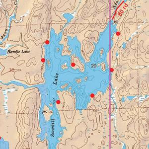
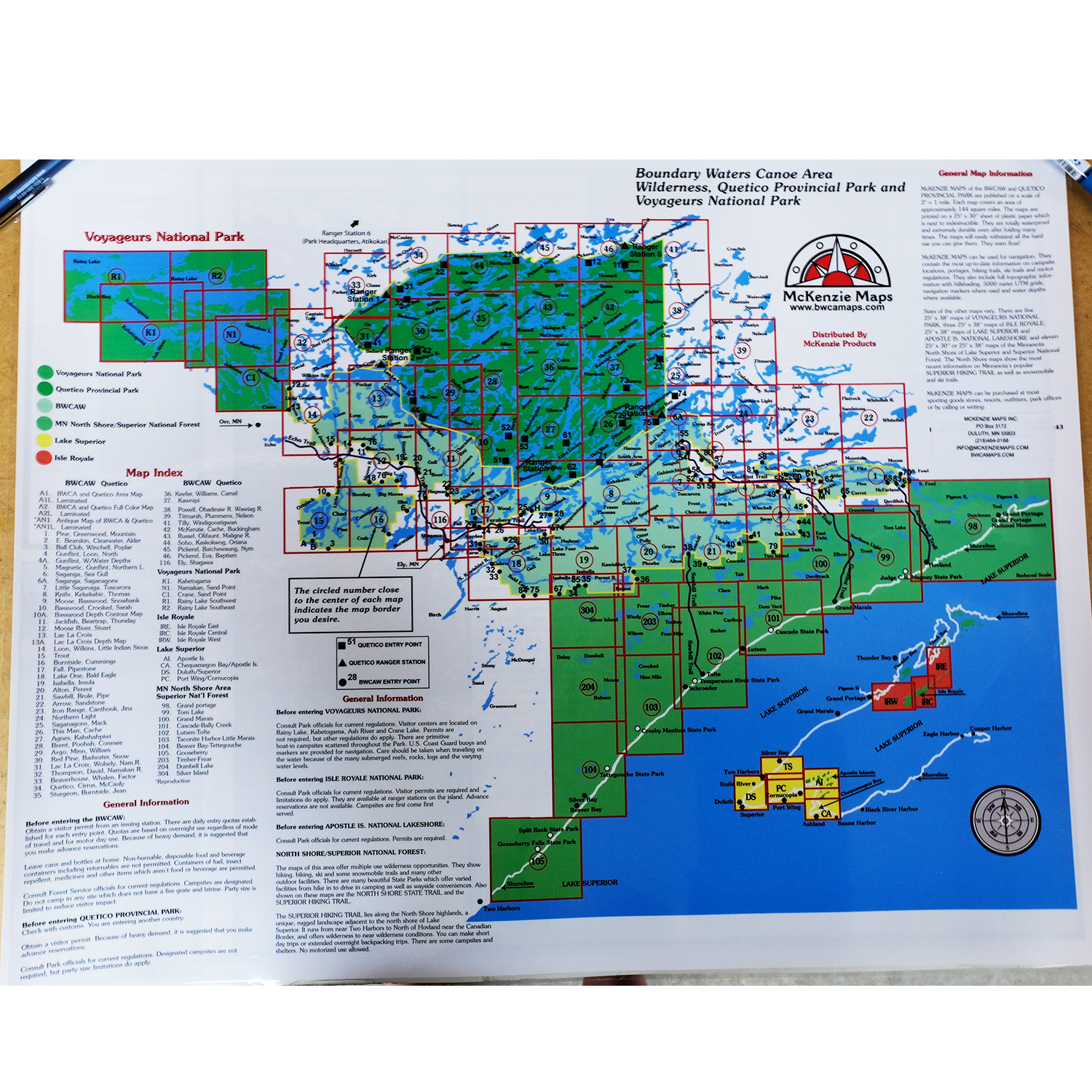
 Canoe Trips
 Canoe Trips