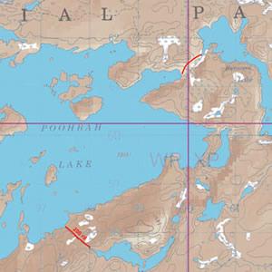
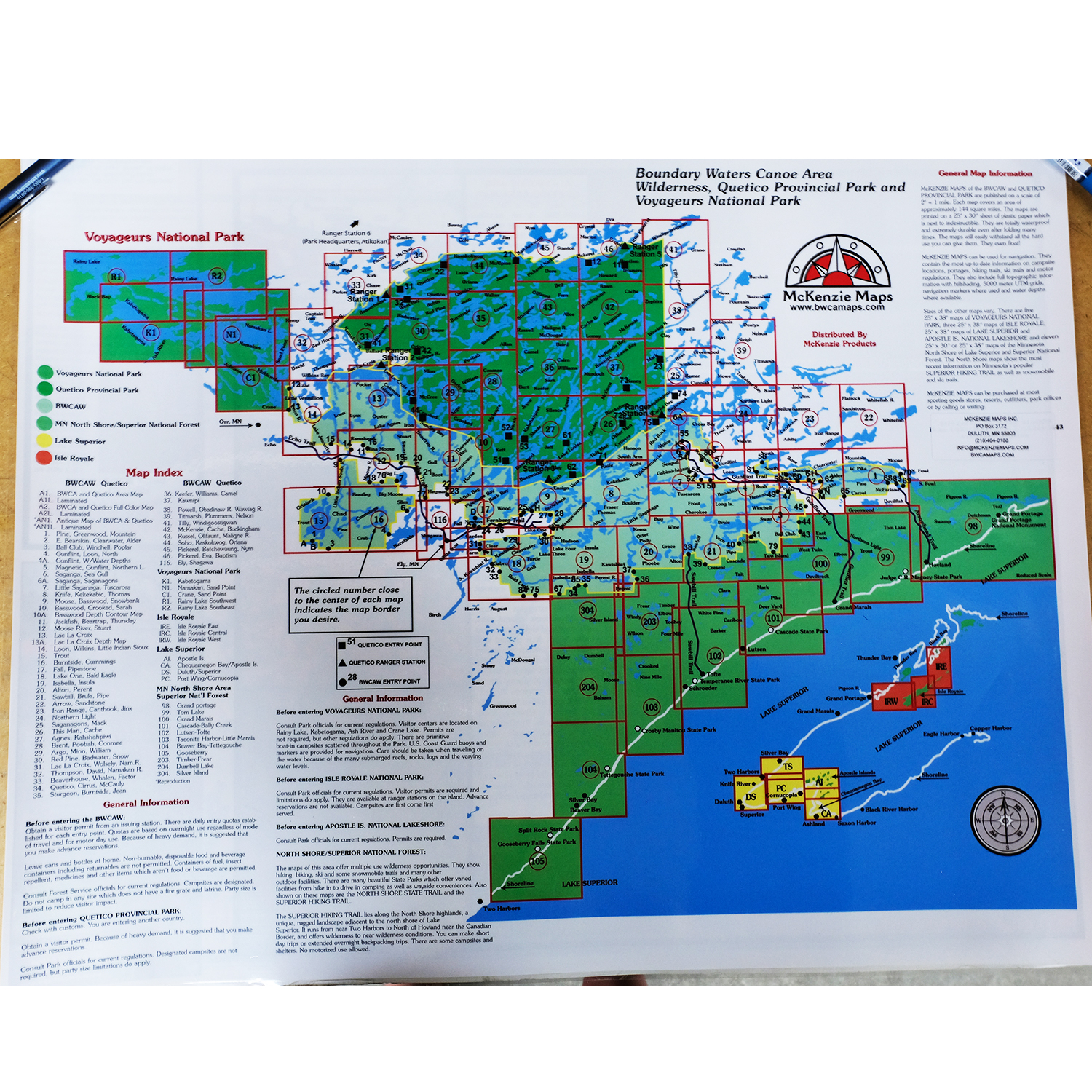
McKenzie Maps - M28 - Brent, Poobah and Conmee Lakes
All maps are: waterproof, topographic, hillshaded, and feature trails, portages, campsites, and more!
Product Details:
- This map details the south central interior of the Quetico Park area and includes Brent, Poobah, Argo, Darky and Conmee Lakes.
- No Quetico Park entry points are contained in this area map.
- Dimensions: 25" x 30"
- McKenzie Maps use the UTM coordinate system.
Maps are shipped folded in an envelope. Upon request, maps may be shipped in a tube for an additional $5. Submit requests via email or call our catalog at 1-800-223-6565


 Canoe Trips
 Canoe Trips