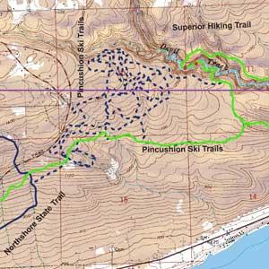
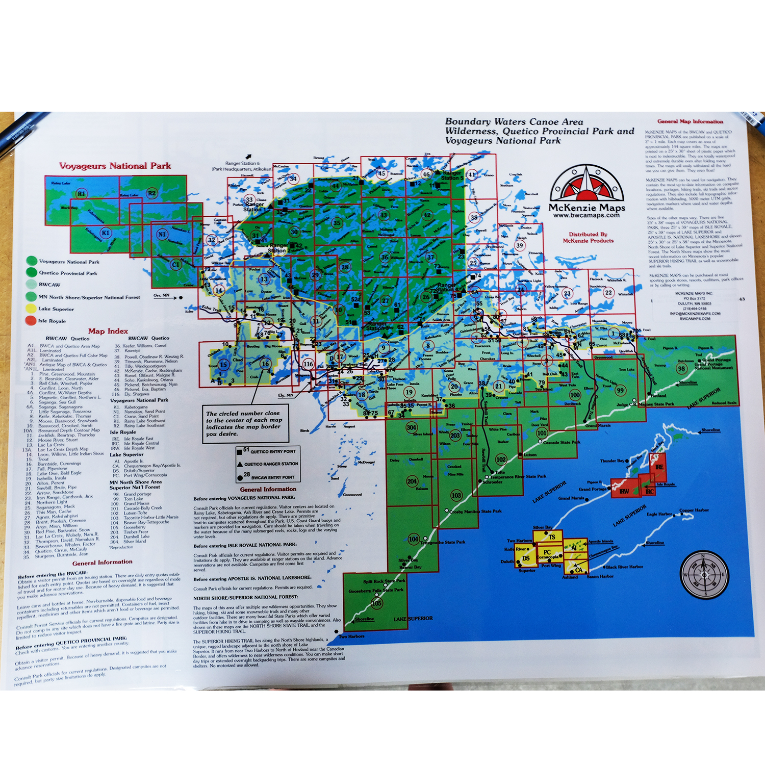
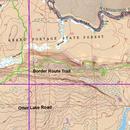
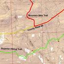
McKenzie Maps - M100 - Grand Marais
All maps are waterproof, topographic, hillshaded, and feature trails, portages, campsites, and more!
Product Details:
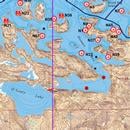
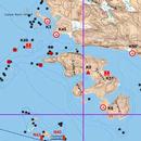
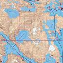
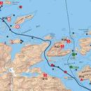
- This map details the Minnesota North Shore and Lake Superior, including the first one-third of the Gunflint Trail, East and West twin Two Island, Elbow and Devil Track Lakes.
- Town of Grand Marais, MN and the Grand Marais airport.
- Scale is 1:31680.
- Dimensions: 25" x 38"
- McKenzie Maps use the UTM coordinate system.
Maps are shipped folded in an envelope. Upon request, maps may be shipped in a tube for an additional $5. Submit requests via email or call our catalog at 1-800-223-6565


 Canoe Trips
 Canoe Trips